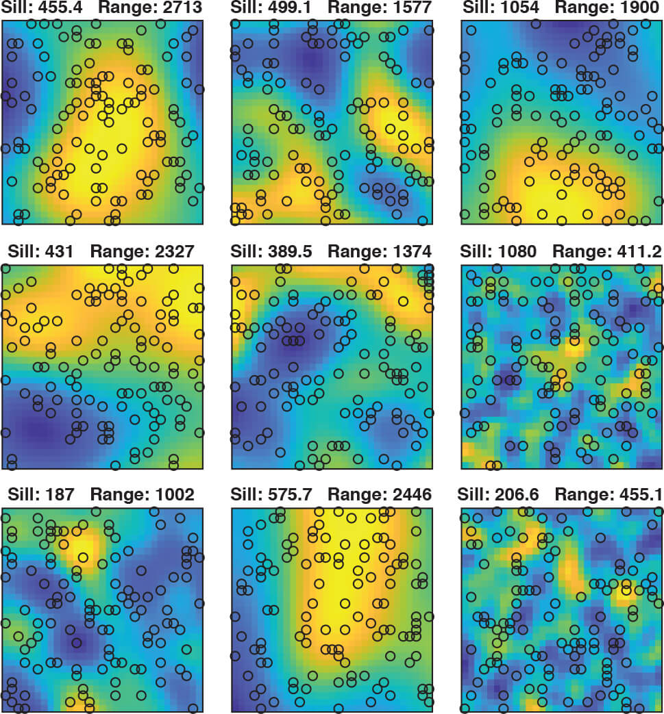
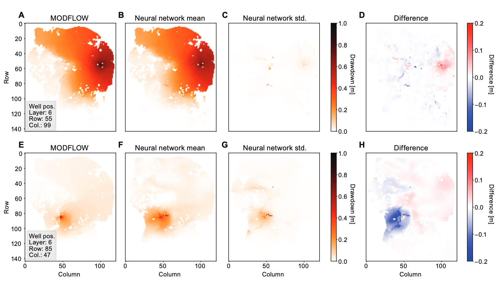
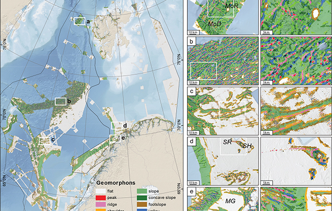
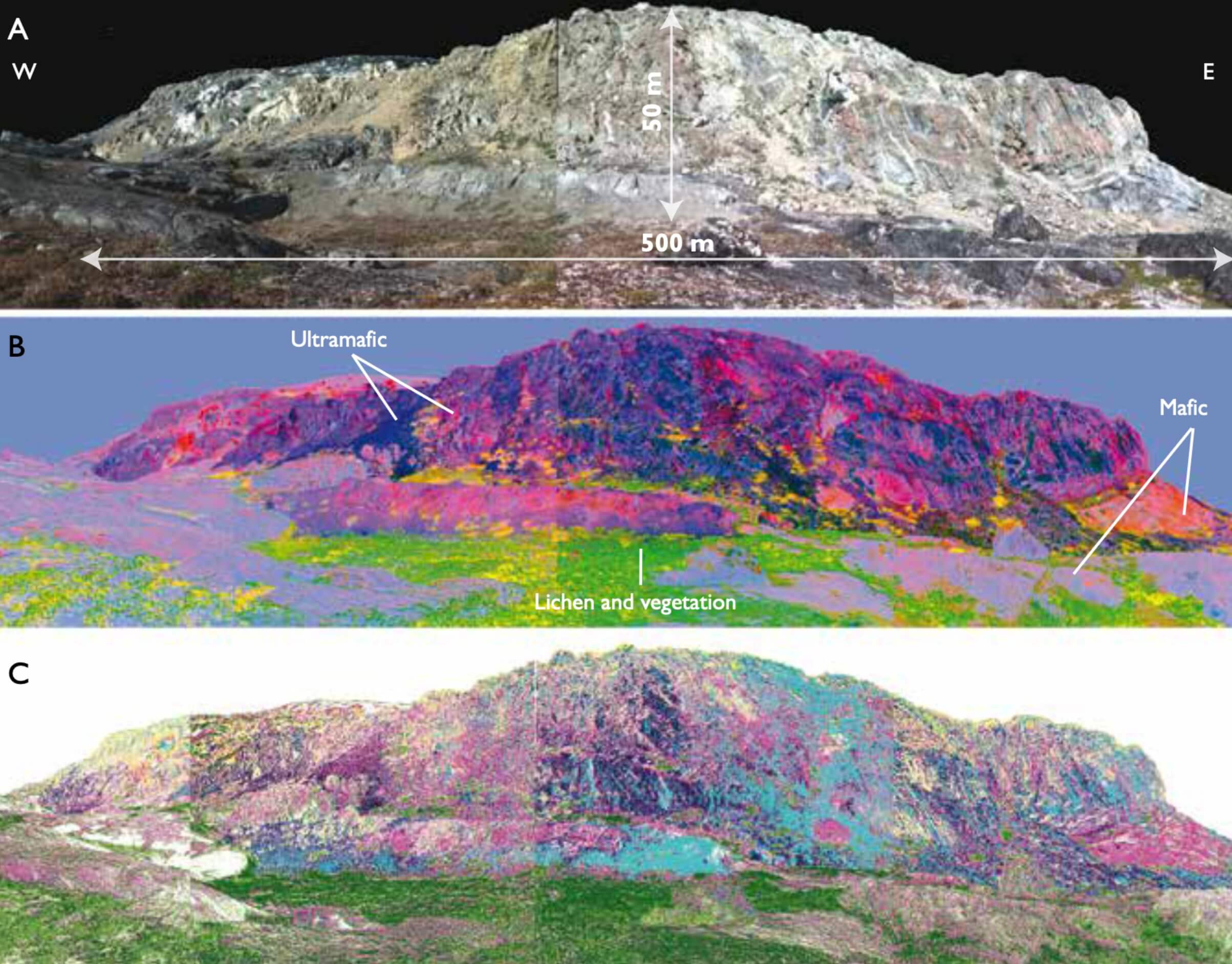
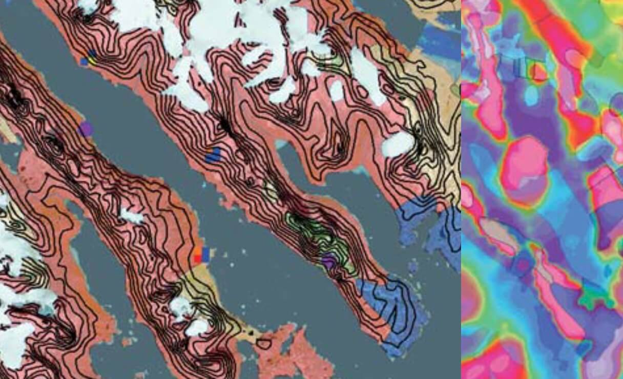
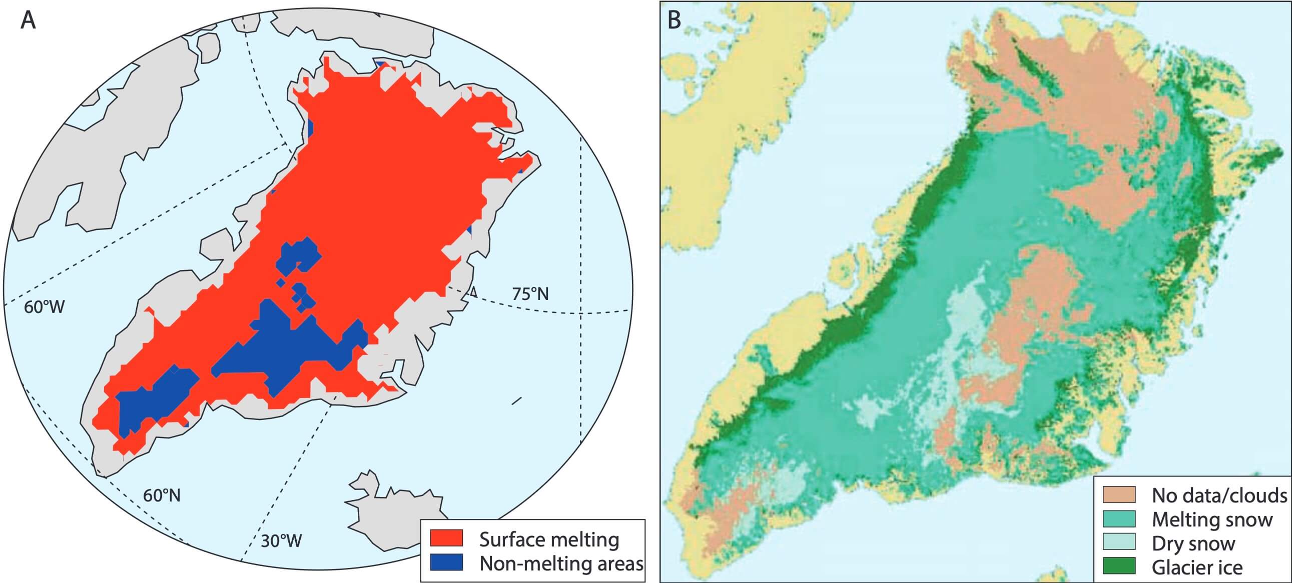
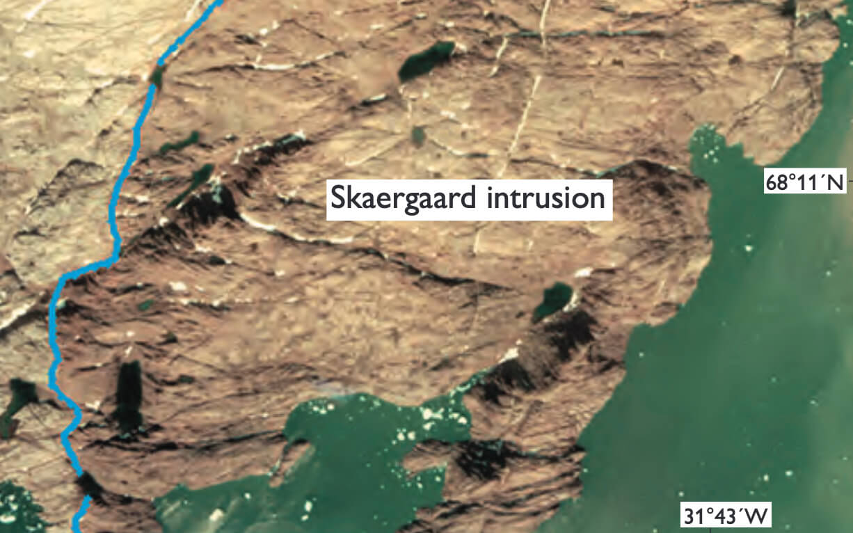
Computational geoscience, informatics and remote sensing
The development of computational methods and models to monitor, analyse and describe geological processes. Includes collection, processing and analyses of geospatial data. Explore all articles related to computational geoscience, informatics and remote sensing in the list below.
Photo: Truncated pluri-gaussian simulation (credit: Rasmus Bødker Madsen)