Register
Register
Login
Login
Search
Register
Register
Login
Login
About
About the journal
Editorial Team
Contact
Newsletter
About
About the journal
Editorial Team
Contact
Newsletter
Browse
Current Issue
All Issues
Other titles by GEUS
Shop Printed Volumes
Browse
Current Issue
All Issues
Other titles by GEUS
Shop Printed Volumes
Authors
Author Instructions
Make a Submission
Authors
Author Instructions
Make a Submission
Reviewers
Reviewer Instructions
First Time Reviewers
Reviewers
Reviewer Instructions
First Time Reviewers
Policies
Open access policy
Publishing Ethics
Privacy Statement
Policies
Open access policy
Publishing Ethics
Privacy Statement
Search
RSS Feed
Home
Archives
Archives
Vol. 62 | 2026
Annual Volume 2026
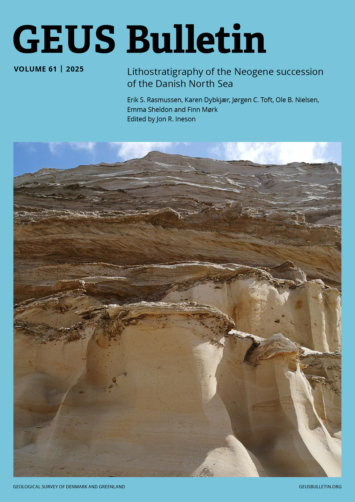
Vol. 61 | 2025
Lithostratigraphy of the Neogene succession of the Danish North Sea
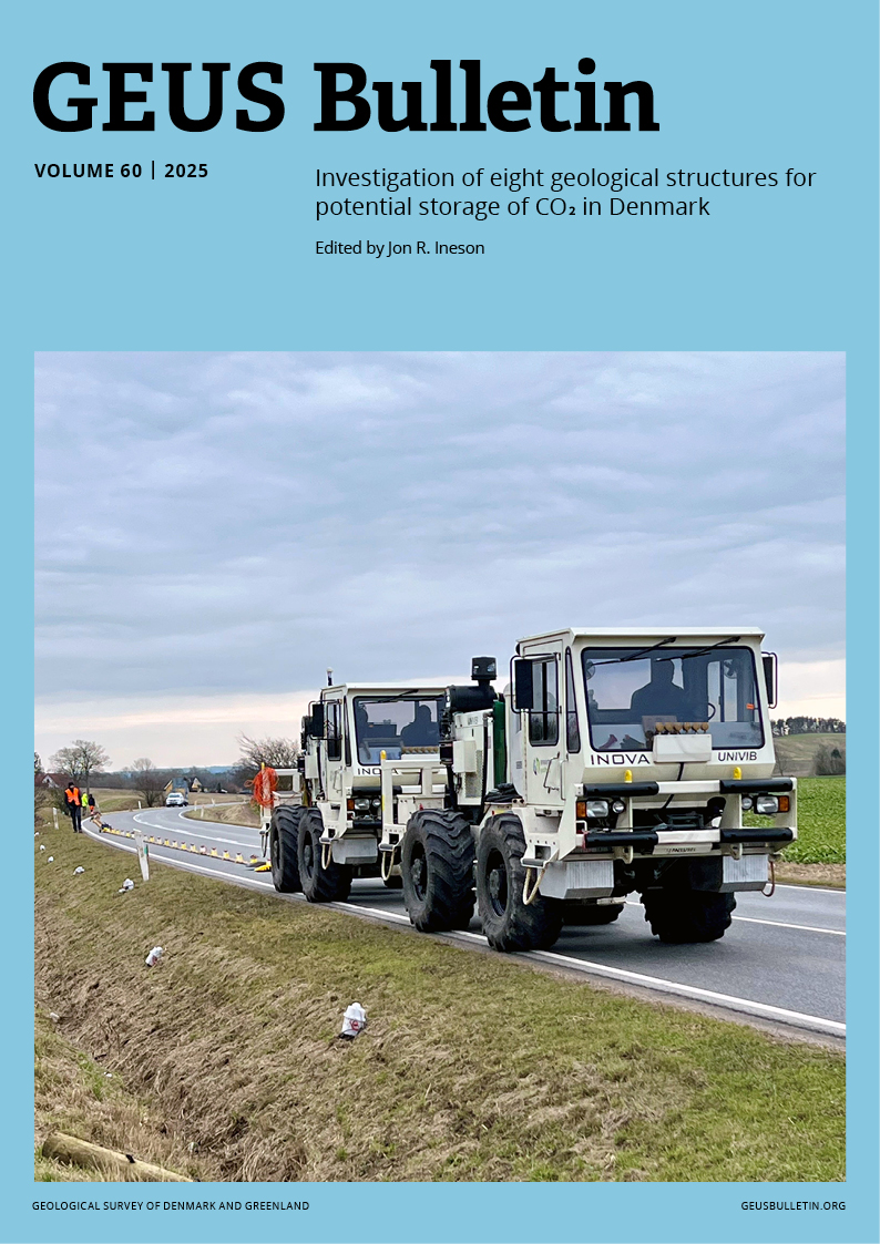
Vol. 60 | 2025
Seismic investigations of eight geological structures for potential storage of CO2 in Denmark
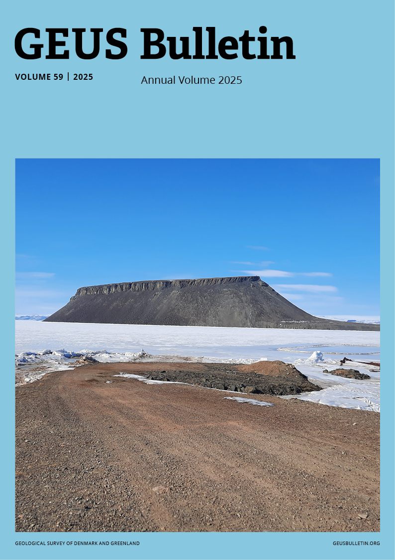
Vol. 59 | 2025
Annual Volume 2025
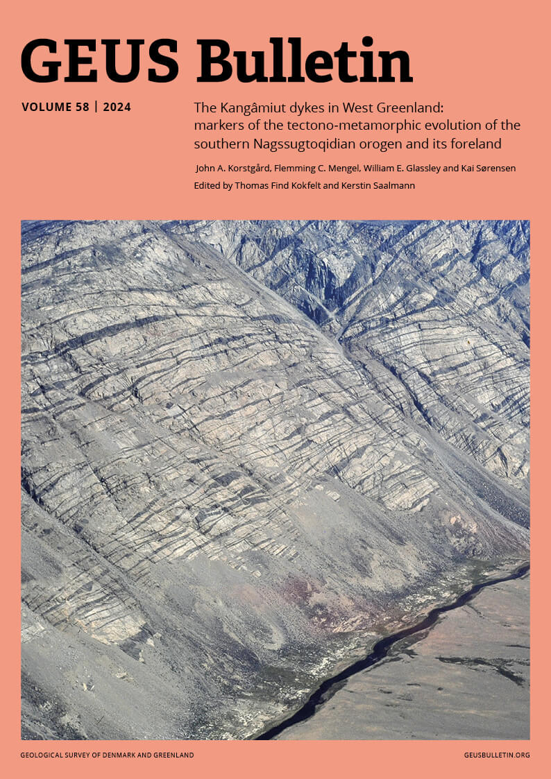
Vol. 58 | 2024
The Kangâmiut dykes in West Greenland: markers of the tectono-metamorphic evolution of the southern Nagssugtoqidian orogen and its foreland
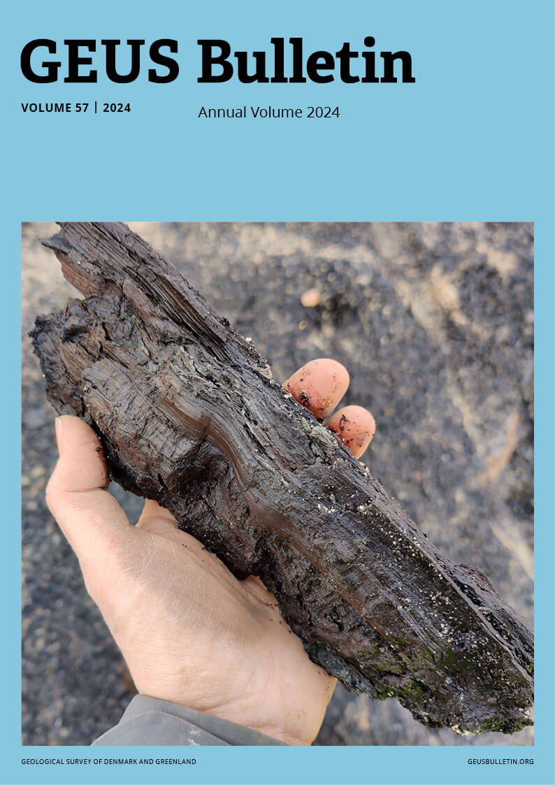
Vol. 57 | 2024
Annual Volume 2024
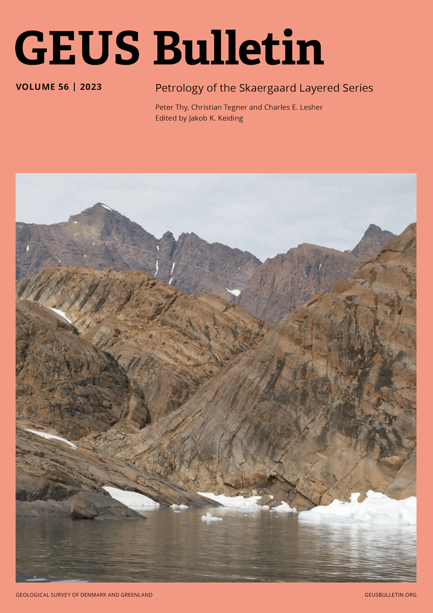
Vol. 56 | 2023
Petrology of the Skaergaard Layered Series
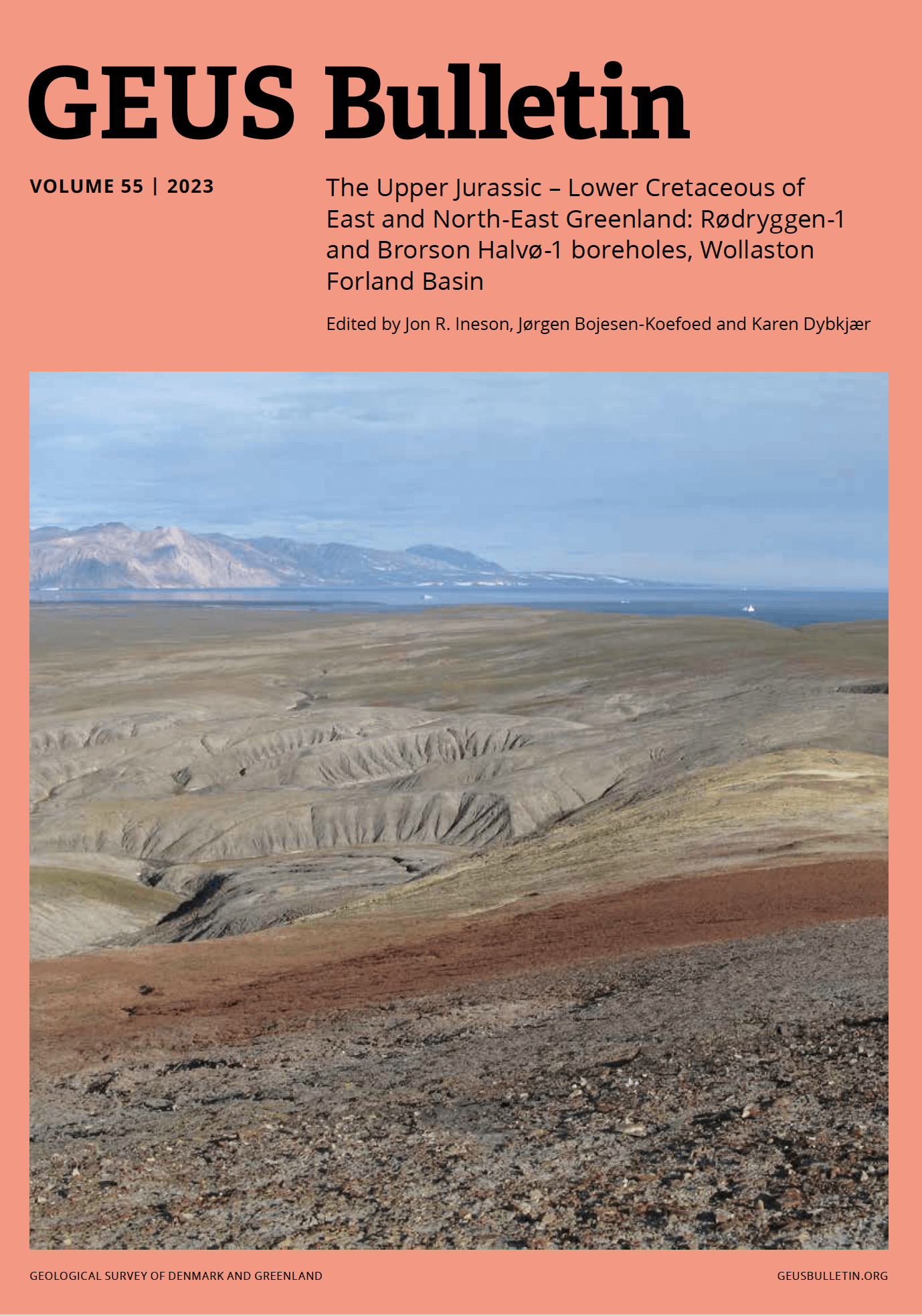
Vol. 55 | 2023
The Upper Jurassic – Lower Cretaceous of East and North-East Greenland: Rødryggen-1 and Brorson Halvø-1 boreholes, Wollaston Forland Basin
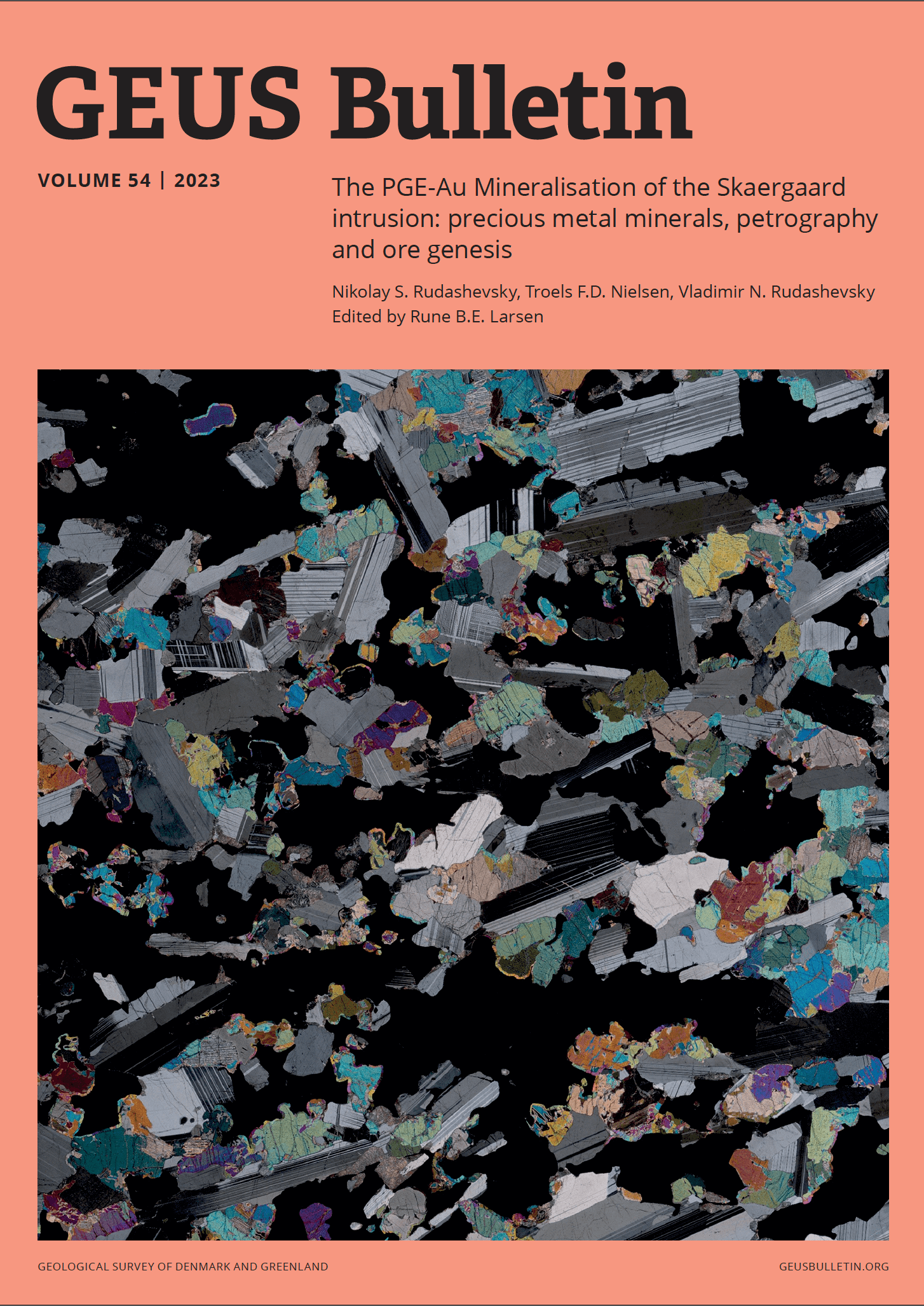
Vol. 54 | 2023
The PGE-Au Mineralisation of the Skaergaard intrusion: precious metal minerals, petrography and ore genesis
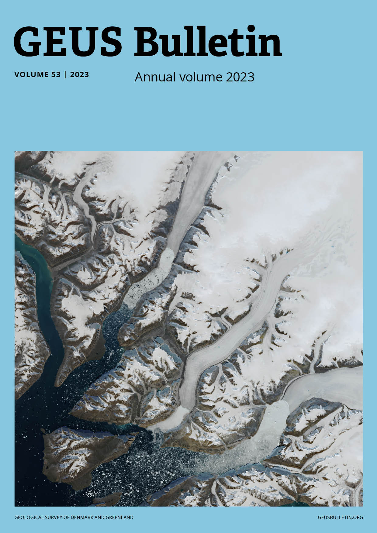
Vol. 53 | 2023
Annual Volume 2023
Vol. 52 | 2022
Marine geodiversity and geosystem services in Scandinavian seas
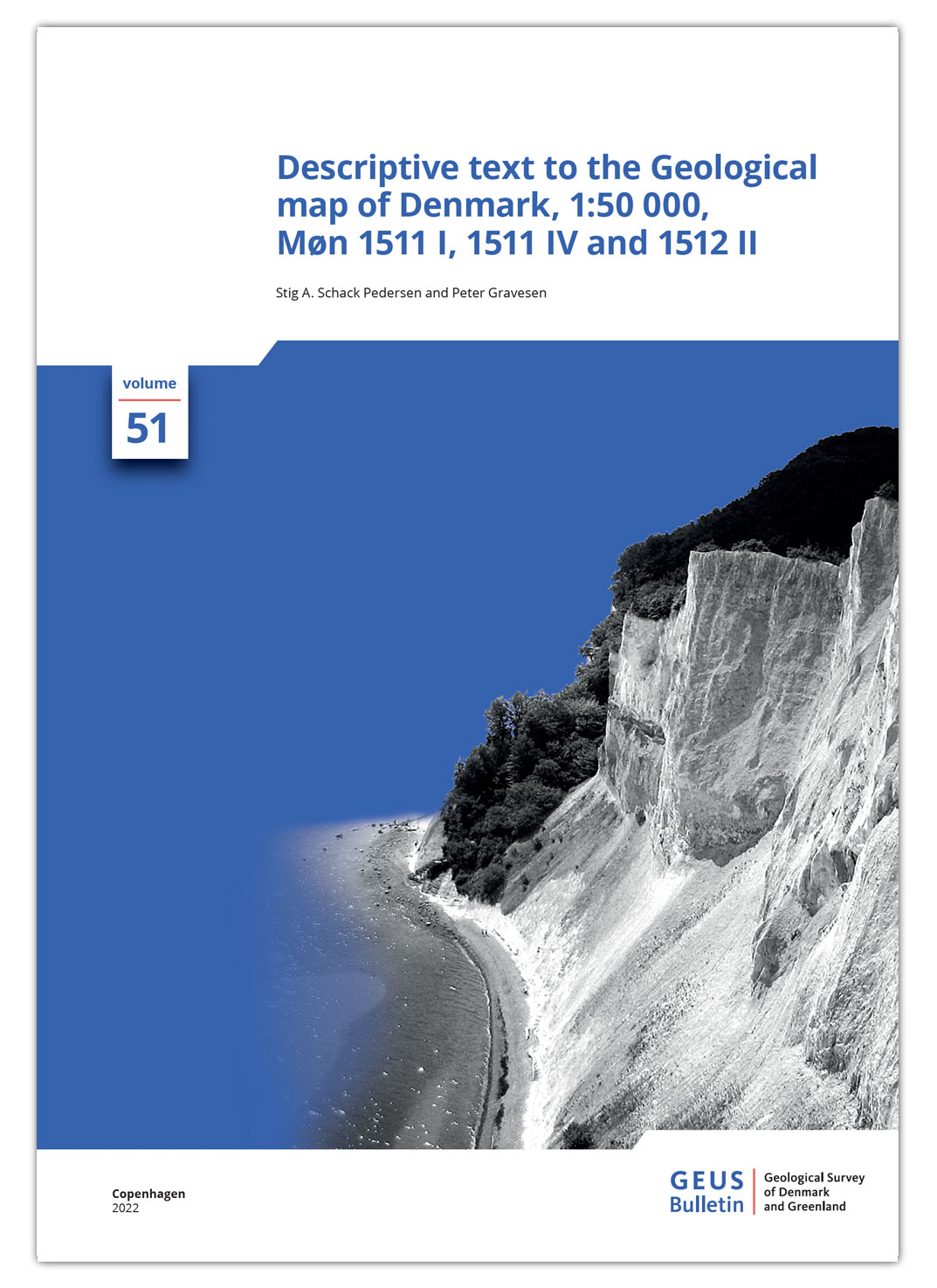
Vol. 51 | 2022
Descriptive text to the Geological map of Denmark, 1:50 000, Møn 1511 I, 1511 IV and 1512 II
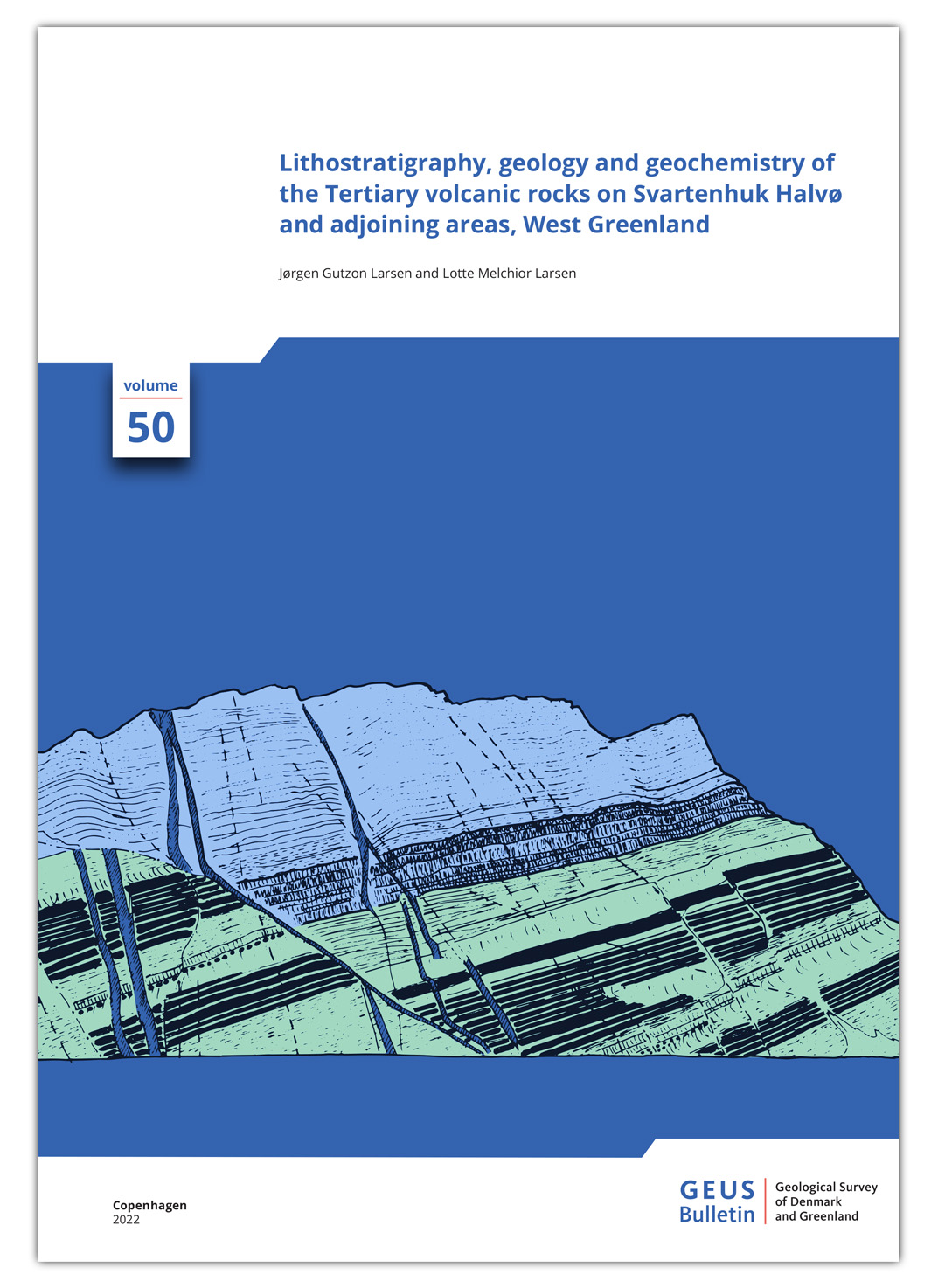
Vol. 50 | 2022
Lithostratigraphy, geology and geochemistry of the Tertiary volcanic rocks on Svartenhuk Halvø and adjoining areas, West Greenland
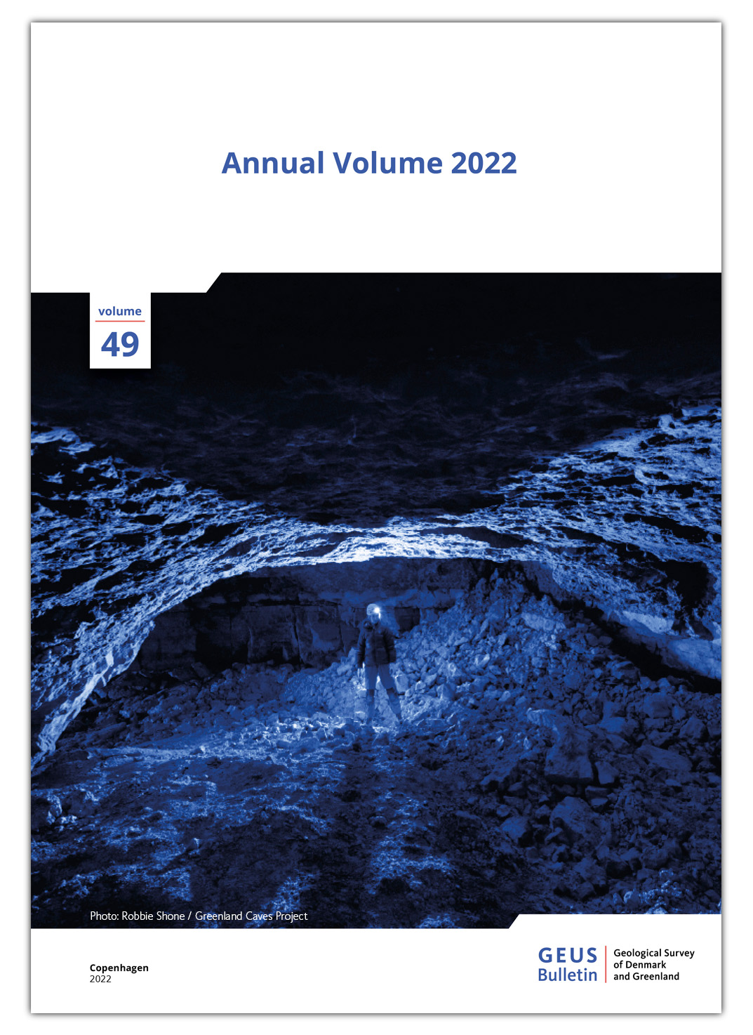
Vol. 49 | 2022
Annual Volume 2022
Vol. 48 | 2021
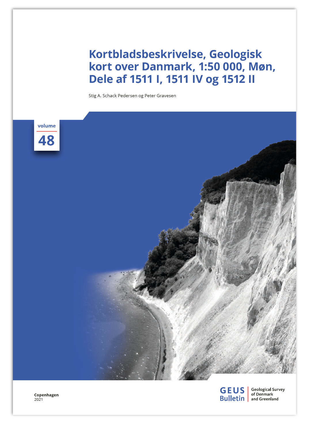
Kortbladsbeskrivelse, Geologisk kort over Danmark, 1:50 000, Møn Dele af 1511 I, 1511 IV og 1512 II
1
2
...
5
Next Page
Last Page
Latest publications
About the journal
Contact
Current Issue
Announcements
Cookies
Privacy Statement
Accessibility