Descriptive text to the Geological map of Denmark, 1:50 000, Møn 1511 I, 1511 IV and 1512 II
This is an English translation of Vol. 48 (2021), which was originally published in Danish.
Translated and edited by: Adam A. Garde
Written by: Stig A. Schack Pedersen, Peter Gravesen
The Møn map area covers the islands of Møn, Nyord, Degneholm, Lindholm and Langø. It also includes the south-east corner of Sjælland, Kalvehave and the north-east corner of Falster, Grønsund.
The map sheet description provides the systematic, geological description of the soil types that appear on the geological map. The geology is described to a depth of 60–80 m a.s.l., by four geological cross-sections based on boreholes from the Jupiter database at GEUS.
The near-surface geology on Møn is dominated by clayey till, which covers c. 70% of the land area. Sandy deposits cover c. 20% of the land area and consist of glaciofluvial sand and marine sand. The latter forms the Ulvshale peninsula with an extended crescentic spit and the marine sandflat east of Nyord. In the valleys, postglacial peat is interbedded with freshwater sand and clay, which is particularly characteristic of infill in the former fjord at Borre Sømose.
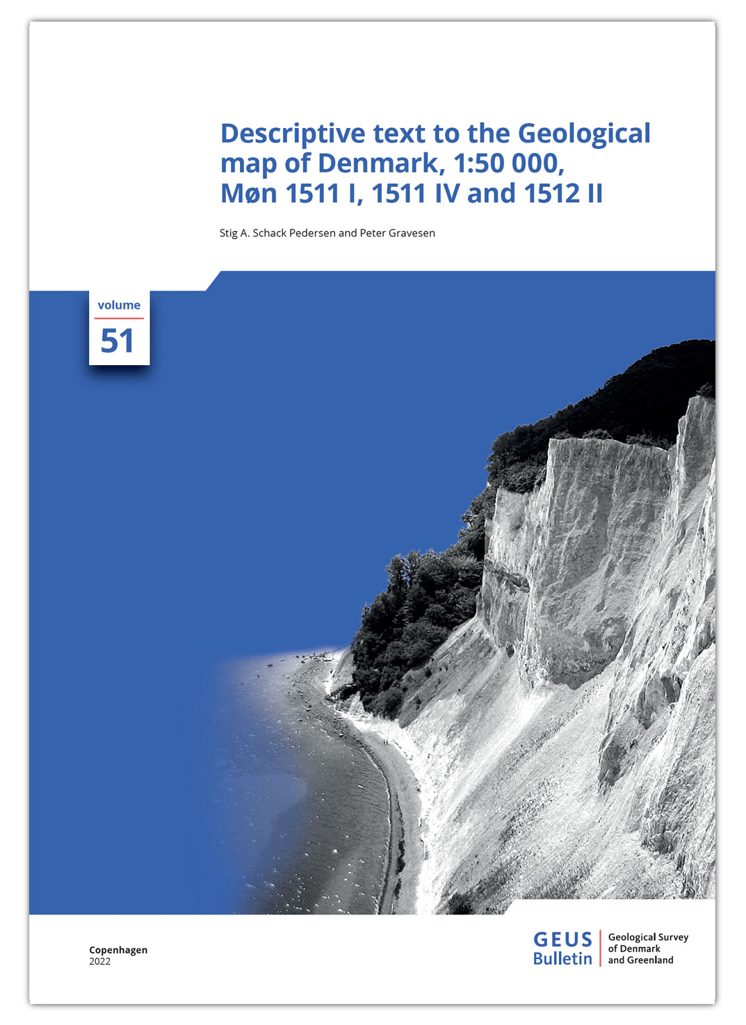
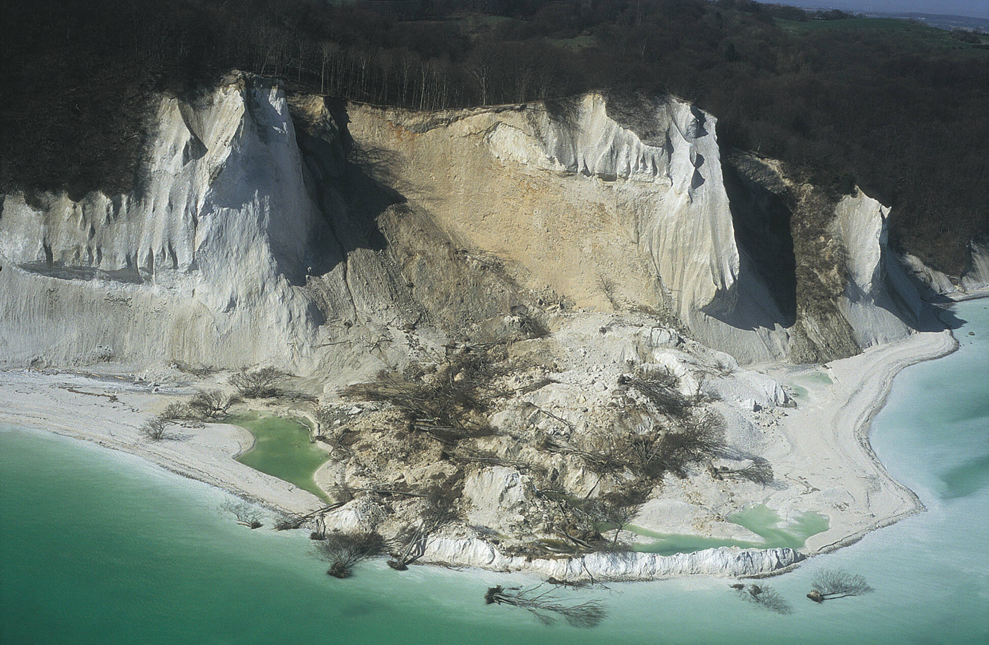
The Cretaceous chalk at Møns Klint is the most significant geological formation in the area. Here, a series of steep sheets of Cretaceous chalk form parallel hill ridges. The highest point is Aborre Bjerg (143 m a.s.l.). Sheets of Cretaceous chalk are also found elsewhere, including Hvideklint on the south coast of Møn.