Exploration history and place names of northern East Greenland
Anthony K. Higgins
This Bulletin records the exploration history of northern East Greenland in three phases: the pioneer exploration and discovery from c. 2400 BC to 1912; commercial activities, early mountaineering and geological mapping from 1919 to 1960; and modern scientific investigations, adventure and sporting expeditions from 1961 to 2008. The catalogue of place names that forms the bulk of this volume gives the location and origin of more than 5650 approved and unapproved names.
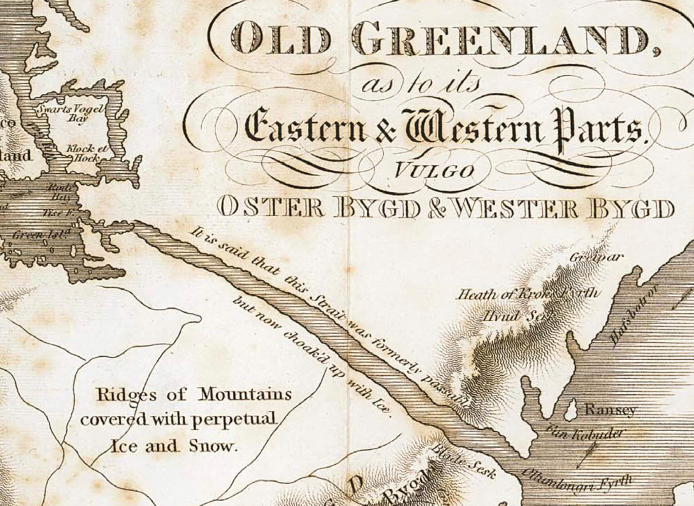
The early exploration of northern East Greenland was carried out by many different nations, whose objectives varied from seeking a route to the North Pole, searching for missing polar explorers, commercial whaling and sealing to primary exploration and mapping. After the Norwegian–Danish dispute over the sovereignty of parts of East Greenland was settled at the International Court of Justice in The Hague in 1933, the Place Name Committee for Greenland (Stednavneudvalget) was established, and the place names used on existing published maps of Greenland were systematically reviewed and with few exceptions approved in danicised form.
More than 3000 place names were officially approved by the Place Name Committee for use in northern East Greenland up to the end of 1984, after which responsibility passed to the Home-Rule government at Nuuk in Green- land. More than a third of these place names were proposed by members of the expeditions led by the Danish geologist Lauge Koch. The post-war expeditions led by Lauge Koch were almost entirely geological in nature, and the place names given reflect in part geological characteristics of the features named, the animals encountered and events during the expeditions, as well as commemorating the mountains, lakes and other features of the home countries of the participants.