Late Palaeozoic – Danian tectonostratigraphic evolution of the onshore Danish area based on data from deep wells and reflection seismic
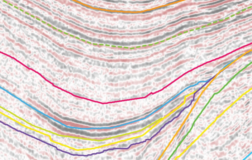
This study presents the tectonostratigraphic evolution of the Danish onshore and coastal inshore area constituting the Danish Basin and the northern part of the North German Basin, separated by the Ringkøbing–Fyn High, based on seismic, wireline log and lithologic data. The study area covers the northern part of the Central European Basin System which was characterised by repeated tectonic episodes since the Late Carboniferous. Based on well and seismic data released prior to 2022, 20 regional seismic horizons defining 17 stratigraphic units are interpreted. The composition of the units is determined from wireline log interpretation and lithological information by tying the seismic horizons to the wells. Gravity data compiled as Bouguer and free air anomaly maps supplemented the seismic interpretation. A layered digital elevation model in metres, composed of 17 grids with a cell size of 400 × 400 m, forms the basis for 17 depth and 16 isochore maps. The maps represent the Upper Permian – Cretaceous deposits by integrating seismic profiles, wireline and lithological data from the deep wells. Selected seismic reference sections with ties to the relevant wells illustrate the interpreted unit boundaries. Eight cross-sections augment the presented depth and isochore maps. The tectonic evolution of the study area took place in four stages: 1). Late Carboniferous – earliest Permian strike-slip, doming and igneous activity. 2). Early–Middle Permian domal subsidence followed by Late Permian – Triassic thermal subsidence and minor rift phases. 3). Jurassic – Early Cretaceous subsidence and minor rift phases. 4). Late Cretaceous –Danian deposition during a long-lasting major eustatic sea-level high. Mobilisation of Zechstein evaporites into salt structures greatly influences the depth and isochore maps in Jylland and the two islands south of Sjælland (Lolland and Falster). The study has established a general structural–stratigraphic framework for further studies and interpretations of the geological development of the area. The depth and isochore maps, together with eight cross-sections, provide a robust foundation for future exploration activities, such as storage of CO2, hydrogen, natural gas, radioactive waste etc., as well as utilisation of geothermal resources. Some of the results of the present study have been used as basic input for the Web-based Geographic Information System geothermal portal hosted by the Geological Survey of Denmark and Greenland.