How to Cite
Share
Abstract
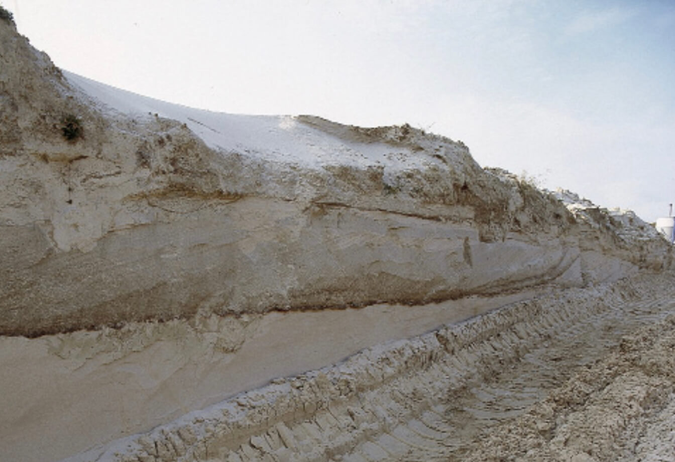
The search for new, deep-seated drinking water resources in Denmark has increased significantly during the past five years as a result of the discovery of excessive amounts of nitrate, pesticides and other pollutants in shallow groundwater boreholes (e.g. Nygaard et al. 2004, this volume). To find and map these aquifers, a multidisciplinary sequence stratigraphic approach has successfully been applied to the Miocene deposits of southern Jutland, where especially the Odderup and Ribe Formations are known as a main aquifer for drinking water from several test wells (Rasmussen et al. 2002). Recently, a more systematic study of the Miocene succession in central and western Jutland has been initiated by the Geological Survey of Denmark and Greenland (GEUS) under contract with local authorities. It includes detailed sedimentological descriptions of outcrops, sedimentological and log-interpretations of new stratigraphic boreholes and interpretation of new high-resolution seismic data (Fig. 1). A number of outcrops and wells have been studied palynologically, resulting in a detailed dinoflagellate cyst stratigraphy and in palynofacies interpretations. The results of these studies have been integrated in the regional geological and stratigraphic model (Fig. 2). Two new aquifers have been discovered: the Bastrup sand and the Billund sand. The Bastrup sand has already been exploited as a main aquifer in central and southern Jutland, and has been referred to either the Ribe or Odderup Formations. However, new stratigraphic results reveal that the Bastrup sand is a separate unit in the Miocene succession. The Billund sand is a deep-seated aquifer located more than 100 m and often more than 150 m deep, and is therefore not penetrated by standard water supply wells which rarely reach c. 100 m. The Billund sand was first revealed by multichannel seismic data deriving from former oil-exploration carried out in the Billund area (Fig. 3A). The resolution of these seismic data is very poor, but one interpretation of the dipping reflectors (clinoforms) seen in Fig. 3A was of a delta complex. This agrees with outcrop studies along the fjords of eastern Jutland which suggest that a spit complex was deposited in this area during the Early Miocene. The Billund sand was tested by the Vandel Mark well in 2001, which penetrated c. 40 m of sand at a depth of 200 m. The presence of a regional major sand body was later confirmed by new high-resolution seismic data and by the Billund and Løvlund wells in 2002. The Billund well penetrated 50 m of medium- to coarse-grained sand, and chemical tests of the water quality were good. However, a water supply well at Fjand in western Jutland has had problems with so-called ‘brown water’ – water enriched in organic matter (humus). Saline water may also be expected close to older deep-seated faults. This paper summarises the results of a mapping programme of the Billund sand initiated in the summer of 2003.
How to Cite
Share
Downloads
Editors: Martin Sønderholm & A.K. Higgins
The Review of Survey activities presents a selection of 23 papers reflecting the wide spectrum of activities of the Geological Survey of Denmark and Greenland, from the microbial to the plate tectonic level.
The Survey's activities in Denmark are documented by ten papers. These include discussion of the [...]


