How to Cite
Share
Abstract
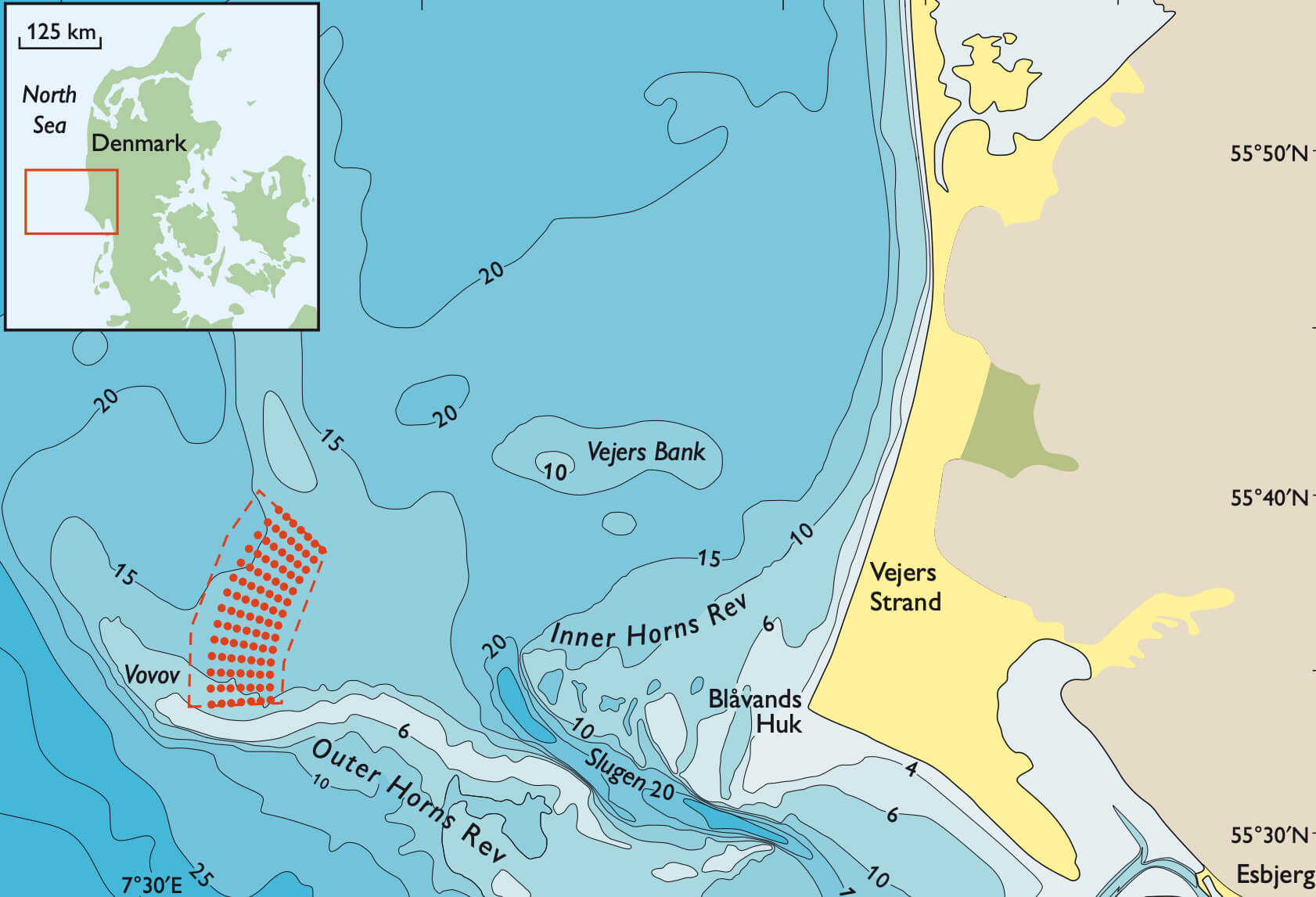
In 2006, Dong Energy initiated the development of the Horns Rev II offshore wind farm in the North Sea (Fig. 1). In order to evaluate and map the characteristics of the surface features of the sea bed and to characterise the subsurface in the wind farm area, the Geological Survey of Denmark and Greenland (GEUS) conducted a geophysical survey of the area. The survey utilised a variety of instruments: sparker, side-scan sonar, marine caesium magnetometer and a multibeam echo-sounder. In addition, information on the subsurface sediments was obtained by cone penetration tests (CPT) and by drilling to 30–50 m below the sea bottom. Geological correlation of the CPT results with the other survey results was extremely complicated but was required in order to understand the architecture of the ice marginal glaciotectonic complex. Information on the geology is crucial for evaluation of the geotechnical problems of the region.
How to Cite
Share
Downloads
Edited by Ole Bennike and A.K. Higgins
This Review of Survey activities presents a selection of 22 papers reflecting the wide spectrum of activities of the Geological Survey of Denmark and Greenland, from the microscopic to the plate-tectonic level.
The Survey's activities in Denmark are illustrated by 13 articles. Five of them deal with petroleum-related [...]


