How to Cite


Share
Copyright (c) 2009 Johan M. Bonow, Peter Japsen, Paul F. Green, Peter R. Cobbold, Augusto J. Pedreira, Ragnhild Lilletveit, Dario Chiossi

This work is licensed under a Creative Commons Attribution 4.0 International License.
Abstract
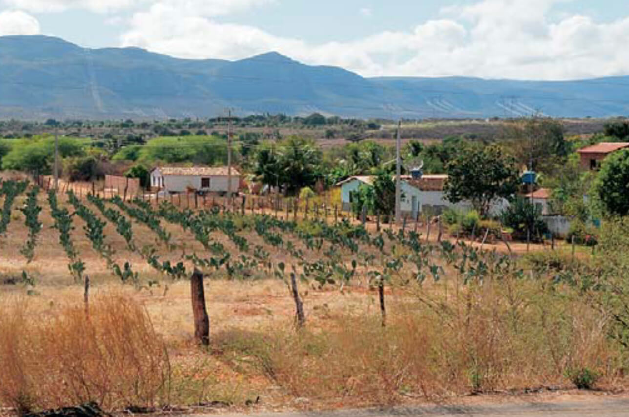
The evolution of the landscape of north-east Brazil in relation to the burial and exhumation history of both onshore and offshore areas is the focus of a research project carried out for StatoilHydrodo Brasil and Petrobras from 2007 to 2009 by the Geological Survey of Denmark and Greenland in collaboration with Geotrack International. In hydrocarbon exploration it is important to understand the regional tectonic framework and thus also to consider the volumes of rocks that may have been present and then removed during the geological past. For example, the timing of hydrocarbon generation and changes in migration routes can be assessed when the timing and magnitude of uplift and erosion is known. Studies in West Greenland have demonstrated the usefulness of large-scale, low-relief, high-level landscapes as markers of uplift events, and in particular the strength of combining the denudation history from landscape analysis with the cooling history from apatite fission-track analysis (AFTA) data and the stratigraphic record (Bonow et al. 2006, 2007; Japsen et al. 2006, 2009). In the study area, there are two plateaux with elevations up to c. 1300 m above sea level (a.s.l.). The plateaux are currently being dissected by deeply incised fluvial valleys, and escarpments separate the two plateaux. The lowlands cut across Early Cretaceous rift systems along the Atlantic margin, including the intracontinental Recôncavo–Tucano–Jatobá (RTJ) Rift and also the Camamu Basin, of which the western margin is exposed onshore (Fig. 1). The RTJ Rift is a mature hydrocarbon province, whereas the deep-water parts of the Camamu Basin are the target of frontier exploration (e.g. Magnavita et al. 1994; Davison 1999; Cobbold et al. 2008). The post-rift sequence in the RTJ Rift and the inshore Camamu Basin is thin or absent. However, it has been estimated that up to 2000 m of sedimentary cover once was present, but has now been removed (Magnavita et al. 1994).
How to Cite
Share
Copyright (c) 2009 Johan M. Bonow, Peter Japsen, Paul F. Green, Peter R. Cobbold, Augusto J. Pedreira, Ragnhild Lilletveit, Dario Chiossi
This work is licensed under a Creative Commons Attribution 4.0 International License.
Downloads
Edited by Ole Bennike, Adam A. Garde and W. Stuart Watt
This Review of Survey activities presents a selection of 19 papers reflecting the wide spectrum of activities of the Geological Survey of Denmark and Greenland, including field-based, laboratory and remote sensing studies.
The Survey's activities in Denmark are illustrated by ten articles covering the [...]