How to Cite
Share
Abstract
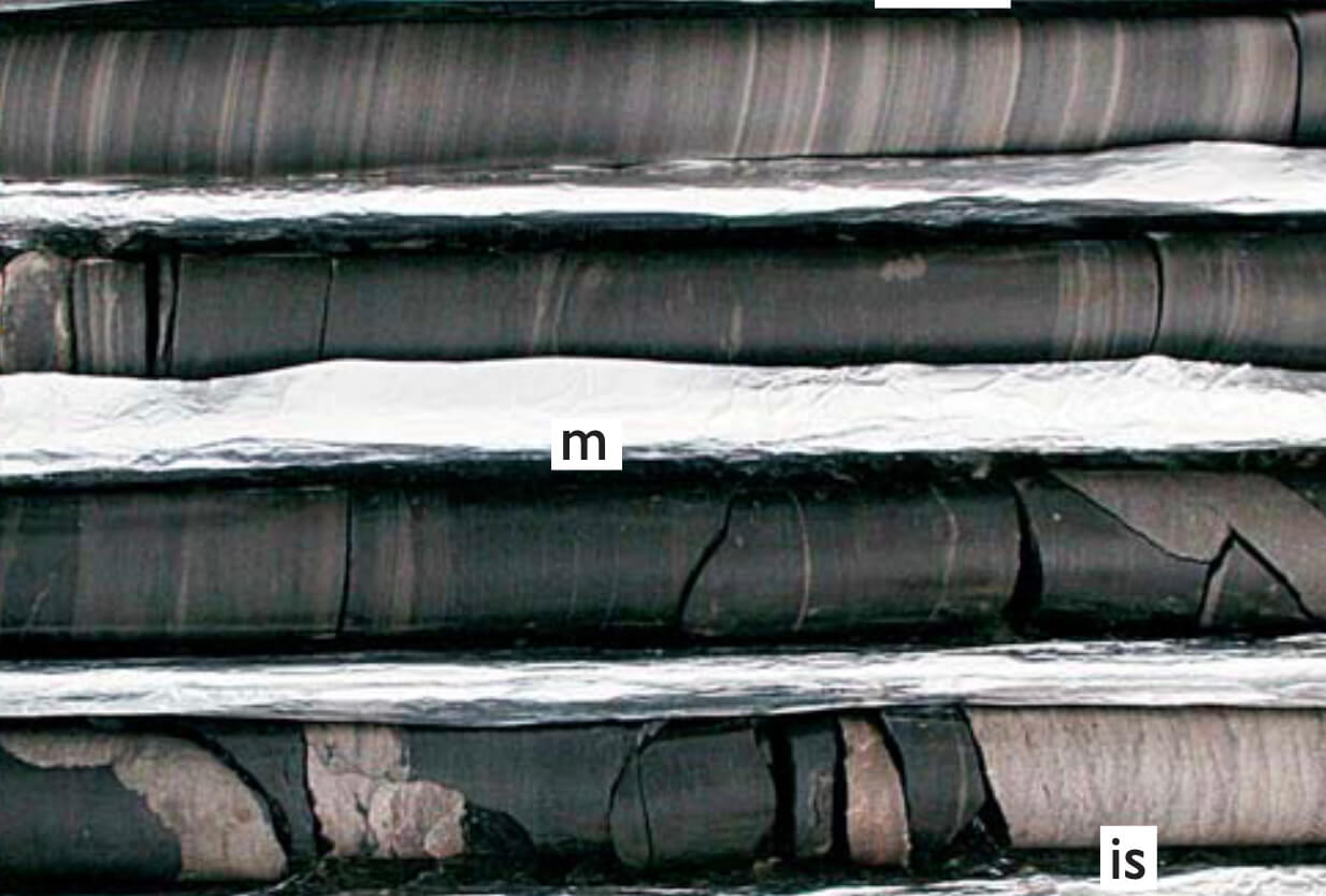
In recent years, both the petroleum industry and governmentresearch institutions have shown renewed interest in the petroleum potential of the High Arctic. At the same time, arange of activities are taking place, aimed at defining national borders in the Arctic Ocean following ratification of article 76 of the United Nations Convention on the Law of the Sea (UNCLOS). Parallel to the general upsurge in data acquisition activities, the United States Geological Survey has carried out a Circum-Arctic Resource Appraisal (CARA), which for North-East Greenland was published in 2007. This assessment indicated that a significant petroleum exploration potential exists on the North-East Greenland shelf, in particular in the Danmarkshavn Basin and the North Danmarkshavn Salt Province (Fig. 1). The estimated potential amounts to 31 billion barrels of oil equivalents, principally in the form of natural gas. For comparison, this roughly corresponds to one third of the original reserve of the North Sea basins. The geology of the Danmarkshavn Basin and offshore areas farther to the north is only known in broad outline, since no wells have been drilled and only reconnaissance geophysical data are available. Moreover, the extensive ice cover and the overall hostile climate of the region pose significant logistical and technical challenges to data acquisition. Clearly, this emphasises the importance of analogue studies based on the much better known geology of the onshore basins in East and North-East Greenland. In 2007/2008, the Geological Survey of Denmark and Greenland (GEUS) launched a major petroleum industry-sponsored project with the objective of updating and expanding our current understanding of the petroleum geology of East and North-East Greenland. The projectis planned to continue for the next four to five years, and includes compilation of relevant existing data in the form of a geographic information system (GIS) product, supple-mented by new data obtained from shallow core drilling and new field work. Below we give a brief overview of a range of field activities that took place in East and North-East Greenland in the summer of 2008.
How to Cite
Share
Copyright (c) 2009 Jørgen A. Bojesen-Koefoed, Morten Bjerager, Stefan Piasecki

This work is licensed under a Creative Commons Attribution 4.0 International License.
Downloads
Edited by Ole Bennike, Adam A. Garde and W. Stuart Watt
This Review of Survey activities presents a selection of 19 papers reflecting the wide spectrum of activities of the Geological Survey of Denmark and Greenland, including field-based, laboratory and remote sensing studies.
The Survey's activities in Denmark are illustrated by ten articles covering the [...]


