How to Cite


Share
Copyright (c) 2009 Nynke Keulen, Anders Scherstén, John C Schumacher, Tomas Næraa, Brian F Windley

This work is licensed under a Creative Commons Attribution 4.0 International License.
Abstract
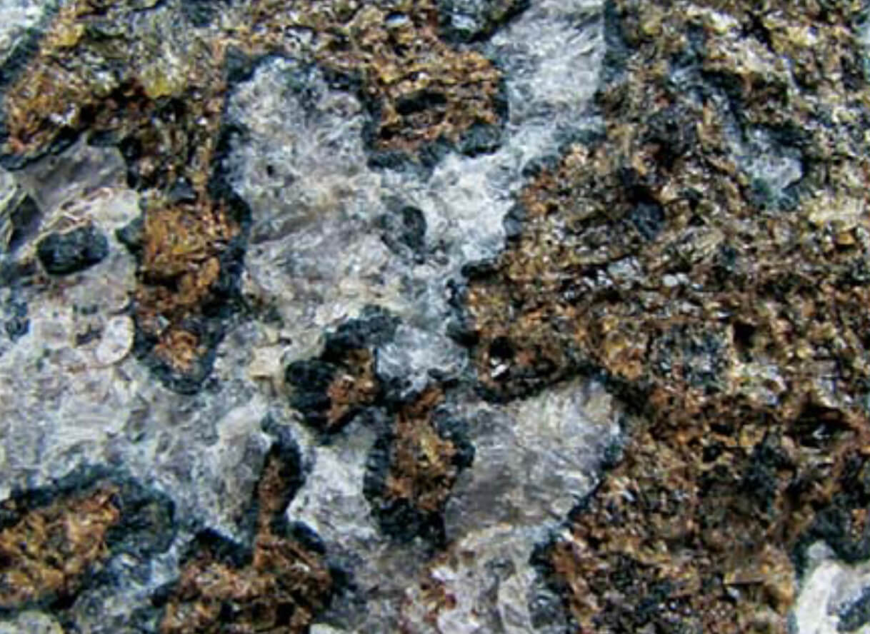
In 2008, the Geological Survey of Denmark and Greenland began a project in collaboration with the Bureau of Minerals and Petroleum of Greenland with the aim to publish a web-based, seamless digital map of the Precambrian bedrock between 61°30´ and 64°N in southern West Greenland. Such a map will be helpful for the mineral exploration industry and for basic research. Producing an updated digital map requires additional field work revisiting key localities to collect samples for geochemistry, geochronology and metamorphic petrology. The new data will help us to test and refine existing models and improve general understanding of the geological evolution of the area. Here we summarise some results from the 2008 field activities between Ame - ralik in the north and Frederikshåb Isblink in the south (Fig. 1). The area was mapped in the 1960s and 1970s, and although the 1:100 000-scale maps are of excellent quality, they do not include more recent developments in geochronology, thermobarometry and geochemistry. A notable exception is the Fiskenæsset complex (Fig. 1), which has received considerable attention after it was first mapped (Ellitsgaard-Rasmussen & Mouritzen 1954; Windley et al. 1973; Windley & Smith, 1974; Myers 1985). New tectonic models have been developed since the original 1:100 000 maps were produced, and the tectonic evolution has been com - monly ex plained in terms of terrane accretion (Friend et al. 1996).
How to Cite
Share
Copyright (c) 2009 Nynke Keulen, Anders Scherstén, John C Schumacher, Tomas Næraa, Brian F Windley
This work is licensed under a Creative Commons Attribution 4.0 International License.
Downloads
Edited by Ole Bennike, Adam A. Garde and W. Stuart Watt
This Review of Survey activities presents a selection of 19 papers reflecting the wide spectrum of activities of the Geological Survey of Denmark and Greenland, including field-based, laboratory and remote sensing studies.
The Survey's activities in Denmark are illustrated by ten articles covering the [...]