How to Cite


Share
Copyright (c) 2011 Pierpaolo Guarnieri

This work is licensed under a Creative Commons Attribution 4.0 International License.
Abstract
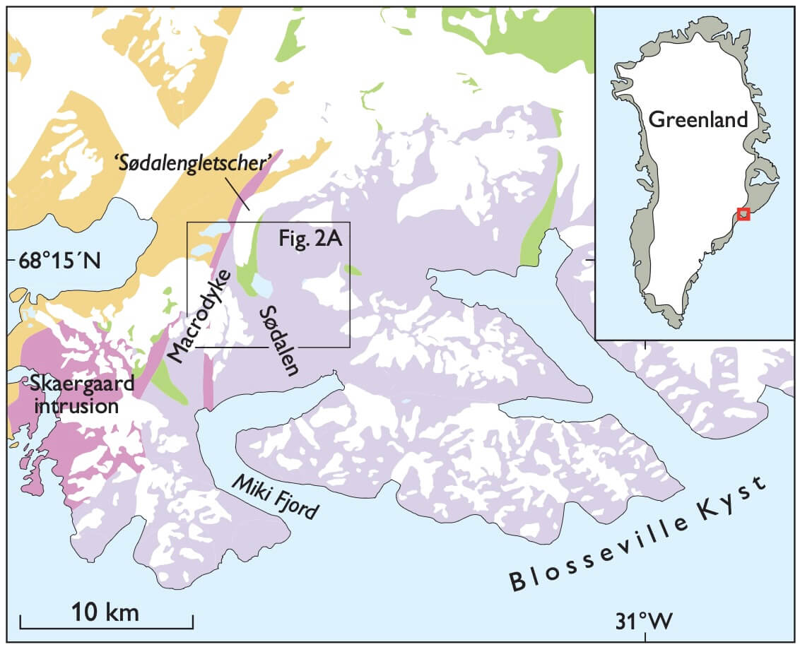
This paper describes structural data collected during field work in southern East Greenland, a region characterised by a complex tectonic history. Here, 3D photogeology based on aerial and oblique photographs using high-resolution photogrammetry of a 150 km2 area in Sødalen in southern East Greenland shows ESE–WNW-trending faults cross-cutting Paleocene rift structures and flexure-related normal faults. The kinematic analysis highlights oblique and left-lateral strike-slip movements along faults oriented 120°. Strike-slip and dip-slip kinematic indicators on the walls of the chilled contacts between alkaline E–W-oriented dykes and the volcanic host rocks suggest that the faults and dykes formed at the same time, or maybe the faults were re-activated at a later stage. Palaeostress analysis, performed by inversion of fault-slip data, shows the presence of three different tectonic events. Coupling the 3D photogeological tool with structural analysis at key localities is a fundamental way to understand better the tectonic history of such a large area.
How to Cite
Share
Copyright (c) 2011 Pierpaolo Guarnieri
This work is licensed under a Creative Commons Attribution 4.0 International License.
Downloads
Edited by Ole Bennike, Adam A. Garde and W. Stuart Watt
This Review of Survey activities presents a selection of 19 papers reflecting the wide spectrum of activities of the Geological Survey of Denmark and Greenland, from the microscopic to the plate-tectonic level.
The Survey's activities in Denmark and surrounding areas are [...]