How to Cite
Share
Abstract
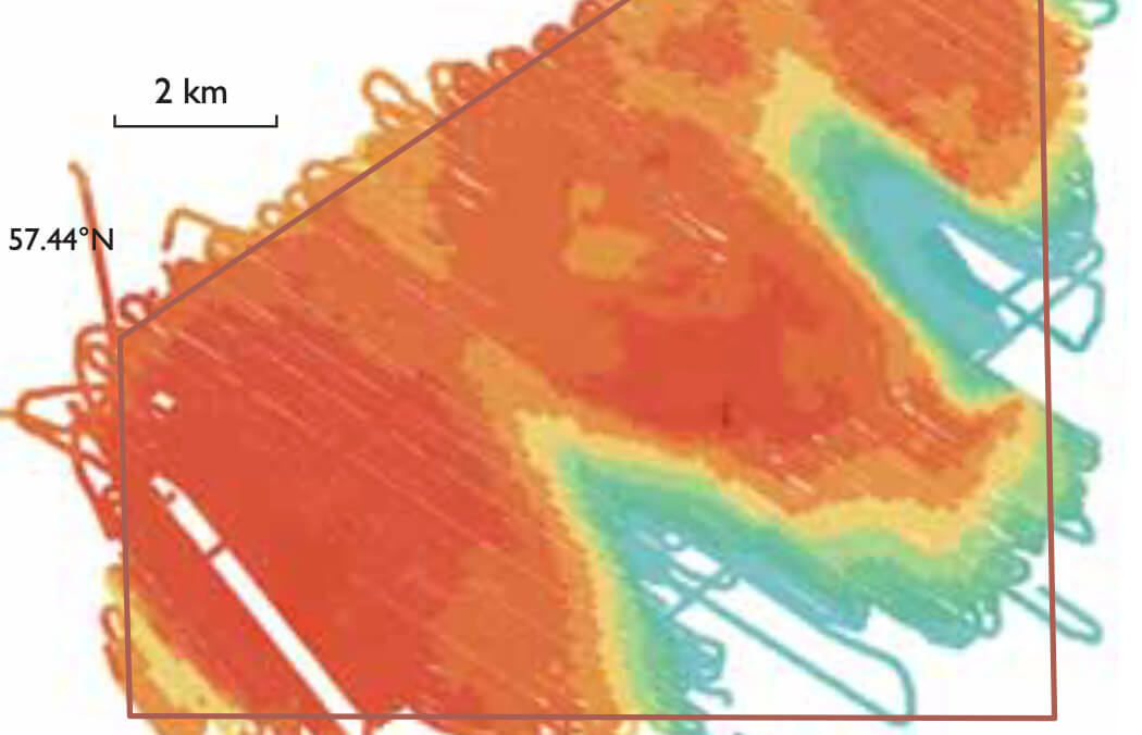
Natura 2000 is a network of nature protection areas established by the European Union under the Habitats Directive (European Union 1992). The aim is to assure long-term survival of the most valuable and endangered species and habitats in Europe. The network comprises special areas of conservation and protection designated by the member states under, respectively, the Habitats Directive and the Birds Directive. The establishment of the network of protected areas also fulfils a community obligation under the Convention of Biological Diversity of the United Nations.
How to Cite
Share
Copyright (c) 2012 Zyad K. Al-Hamdani, Laura G. Addington

This work is licensed under a Creative Commons Attribution 4.0 International License.
Downloads
Edited by Ole Bennike, Adam A. Garde and W. Stuart Watt
This Review of Survey activities presents a selection of 20 papers reflecting the wide spectrum of activities of the Geological Survey of Denmark and Greenland, from the microscopic to the plate-tectonic level.
The Survey's activities in Denmark and surrounding areas are illustrated by [...]


