How to Cite
Share
Abstract
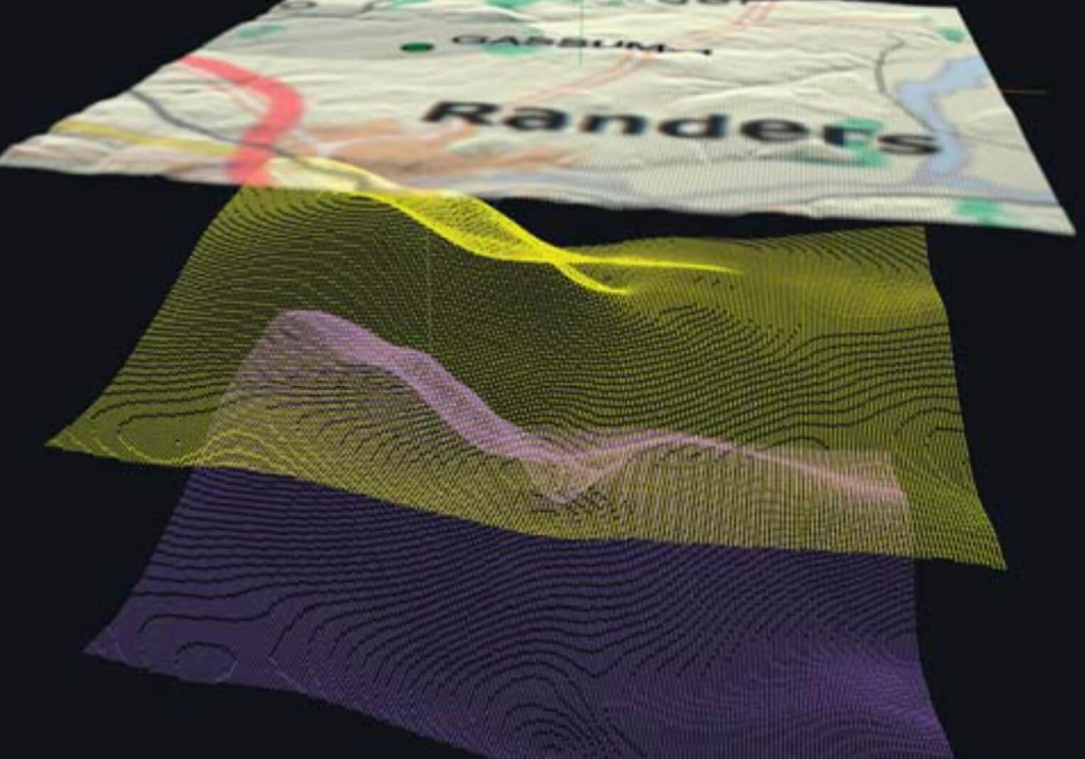
The Danish subsurface contains deep geothermal resources which may contribute for hundreds of years to the mixed Danish energy supply (Mathiesen et al. 2009). At present only a limited fraction of these resources are utilised in three existing geothermal power plants in Thisted, Margretheholm and Sønderborg (Fig. 1) where warm formation water is pumped to the surface from a production well and, after heat extraction, returned to the subsurface in injection wells (Fig. 2). Deep geothermal energy has the advantage of being a sustainable and environmentally friendly energy source which is furthermore independent of climate and seasonal variations, in contrast to wind and solar energy. The implementation of deep geothermal energy for district heating replacing conventional energy sources, especially coal and oil, may thus lead to a considerable reduction in the emission of greenhouse gases. There are therefore good reasons to include geothermal energy as a central component in Denmark’s future supply of energy for district heating. Furthermore, heat-demanding industries may consider the possibility to integrate geothermal energy and energy storage in their production process. In order to facilitate the use of geothermal energy, a broad majority in the Danish parliament has granted financial support for initiatives within the geothermal field (Energy policy agreement of March 22, 2012). The present paper deals with one of the outcomes of this agreement, namely a WebGIS portal with an overview of existing and interpreted geological and geophysical data. This will be relevant for all stakeholders in the exploration of deep geothermal resources in the Danish subsurface. The portal focuses on geothermal reservoirs within the 800–3000 m depth interval and provides an overview of the amount and quality of existing geodata, the geological composition of the subsurface, and interpreted thematic products such as geological maps of potential geothermal reservoirs. A comprehensive map from the portal showing onshore and nearoffshore locations where the geological conditions are potentially suitable for extraction of deep geothermal energy in Denmark is shown in Fig. 1. Many of the thematic maps are outcomes of the project The geothermal energy potential in Denmark – reservoir properties, temperature distribution and models for utilization under the programme Sustainable Energy and Environment funded by the Danish Agency for Science, Technology and Innovation.
How to Cite
Share
Downloads
Editors Adam A. Garde, Ole Bennike, Kristine Thrane and W. Stuart Watt
This issue of Review of Survey Activities presents a selection of 24 papers reflecting the wide spectrum of current activities of the Geological Survey of Denmark and Greenland, from the microscopic to the plate-tectonic level.
The Survey’s activities in Denmark are illustrated [...]


