How to Cite
Share
Abstract
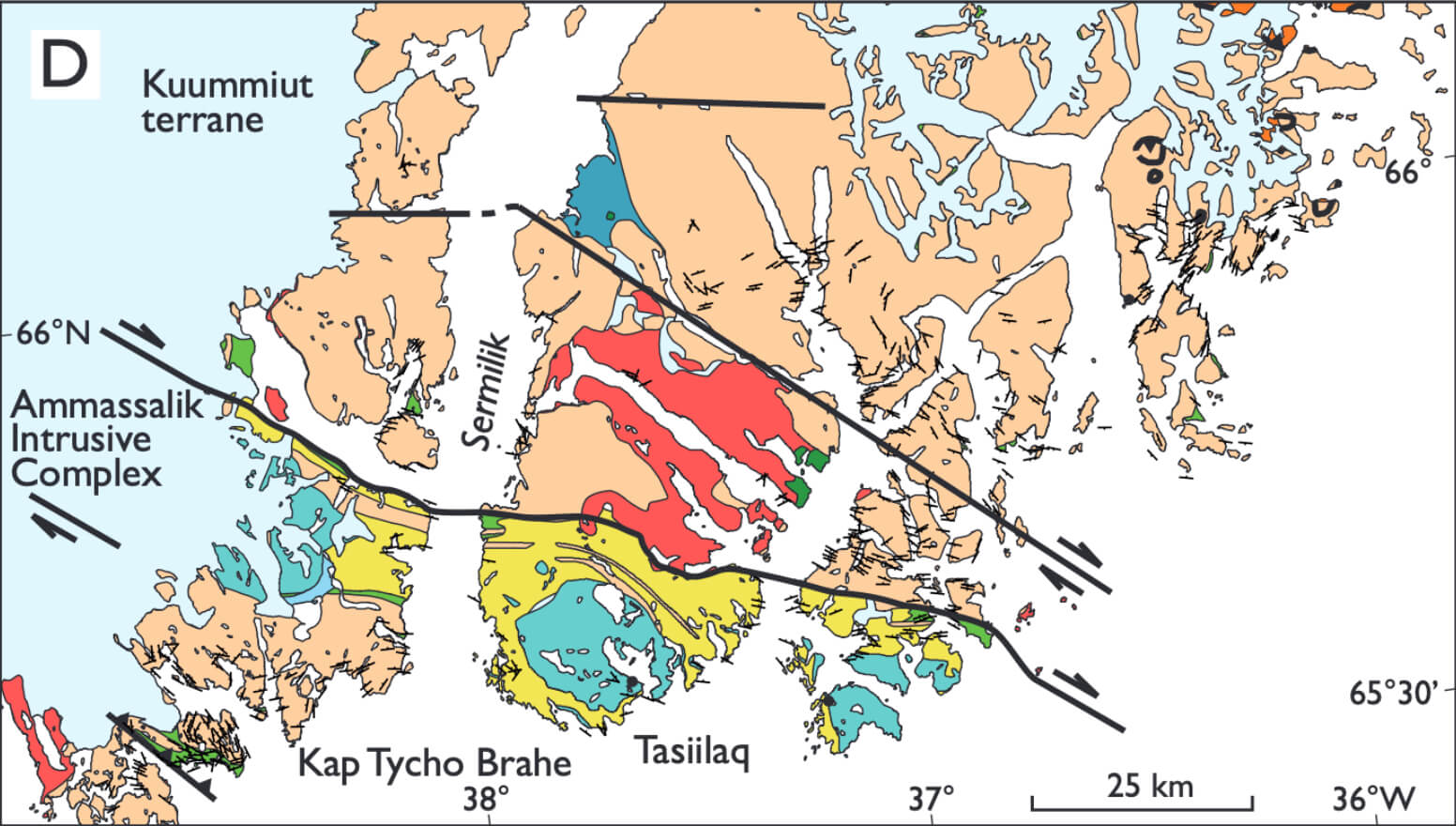
Numerous studies have proven that conceptual targeting based on integration of various geo-datasets can aid exploration companies to identify exploration targets (e.g. Joly et al. 2013). This is particularly true in remote, underexplored areas that are commonly just covered by airborne geophysics and remote sensing and mapped geologically only on a regional scale. Such regions are ‘exploration greenfields’ and may possess undiscovered economic deposits.
How to Cite
Share
Downloads
Editors Adam A. Garde and Ole Bennike
The 17 contributions in this Review of Survey activities reflect the wide range of activities currently performed by the Geological Survey of Denmark and Greenland, commonly in collaboration with external partners.
Topics in and around Denmark include the important Danish potential for geothermal energy, a shale gas [...]


